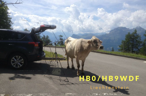
HB0 Liechtenstein
QSL
Profile
QTH: Sareiserjoch, Gaflei, Schaan, Ruggell
Locator: JN47
ITU: 28
CQ: 14
My first activation: 2016
My last activation: 2018
QSL: via Bureau, eQSL and LoTW
Announcement
Last Activation was on May 2018
I have plans for a next activation late Summer this year.
Discription
To Liechtenstein, it's just a 3 hours drive from my home qth. Some stations asked my, why I are not so often in this country, when a such a rare dxcc country is so near. The answer is: For satellite it's really a difficult place.
In my opinion: Liechtenstein is one of the heaviest placees for satellite operation.

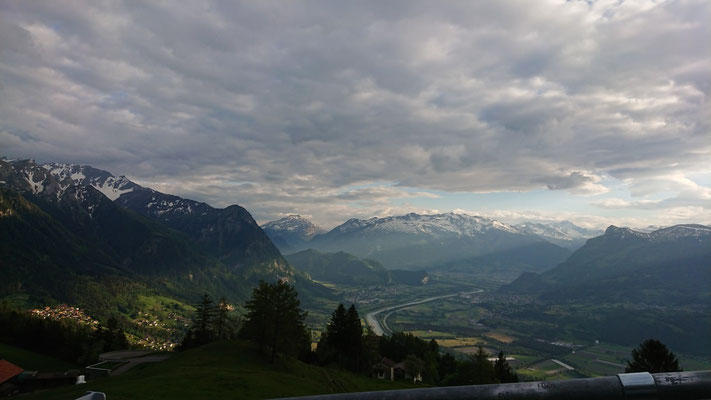
For those who didn't know the HB0: Liechteinstein is a small country bordered by Germany, Austria and Switzerland. The Rhine River in the west marks almost the borderline in a length of 24km. The valley bottom, with Liechtenstein in the east and Switzerland in the west, has a diameter of about 3 to 7 km. The area of Liechtenstein is 160 km2 big with a population about 37'000 people and is the 6th smallest country in the world.
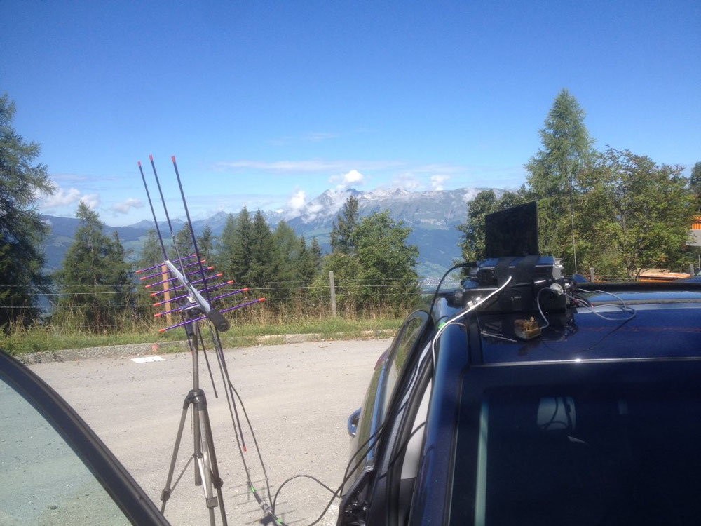
The mounts left and right of the valley are over 2500m high and are really steep.
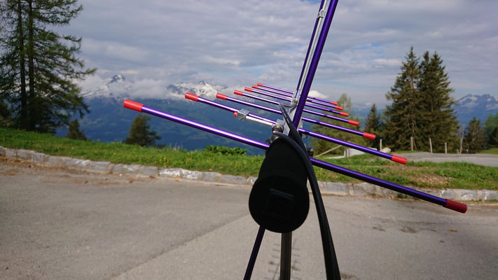
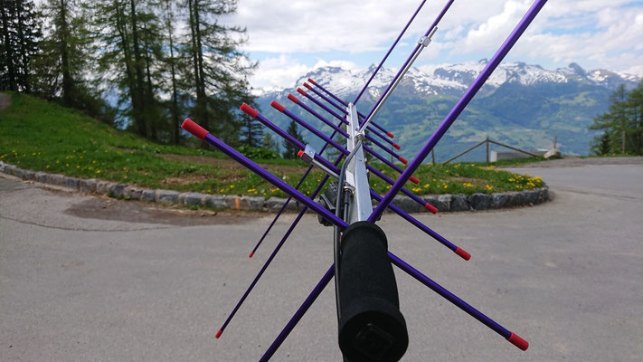
For satellite operation, they are a few handicap to know:
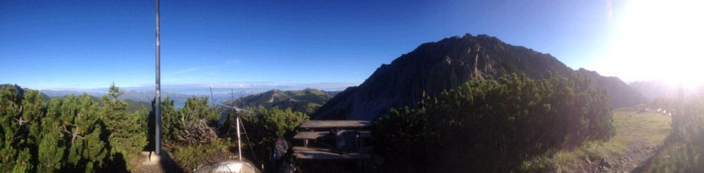
The best place is on the top of the mountains. There is no road to reach them. There is only one cable car to the mount "Sareiserjoch", who is only in the high season in operation.
For an untrained flatland tourist, it's really dangerous to hike on to the top of the mountains of Liechtenstein. And for Satellite operation, you have be on air, when the satellite flight over there. In this case, you have to plan your activation very exactly without stress.
When I go there alone, hiking is not an option for me. It's to dangerous. So I have to look for a good compromise.
If there a good weather condition, I use the Sareiserjoch (only between June and October). When I will use the windows to NA, there is a parking lot in Gaflei. From there, the elevation of the Swiss Alps is in maximum "only" 4 degrees high.
But on the other side: The elevation on the east side goes over 50 degrees. The stations from the east of Europe have no chance to catch me in HB0 via sat.
So there are a few places in north of the Rhine Valley. The north side of Liechtenstein is a good compromise of "easy to get there" and long window opening for using the sat.
You may have now figured out, why is so complicate to be active on sat from Liechtenstein.